Geospatial information sharing supports economic growth: Palanivel

PUTRAJAYA: The public-private partnership in geospatial information sharing is essential in avoiding duplication of efforts in data acquisition.
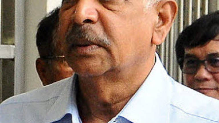
The collaboration helps save millions of ringgit from the government's coffers, said Natural Resources and Environment Minister Datuk Seri G. Palanive (pix).
"Bringing geospatial information to the mainstream of activities through efficient management of resources should be taken seriously at all levels of government, industry, community and parties involved," he said when opening the sixth National Geospatial Information Symposium here today.
(Geospatial analysis is an approach to applying statistical analysis and other informational techniques to data which has a geographical or geospatial aspect).
Palanivel said geospatial was now recognised by the government as an important source of information to support economic, social and environmental development.
On the two-day symposium themed 'Geospatial Drives National Vision', he said it was in line with the government transformation agenda.
Earlier, he presented geospatial awards to the Public Works Department (PWD) (national level), Penang government (state level), and Putrajaya Corporation (local council level).
The Meteorological Department, Survey and Mapping Department, and Telekom Malaysia won the geospatial excellence awards. – Bernama