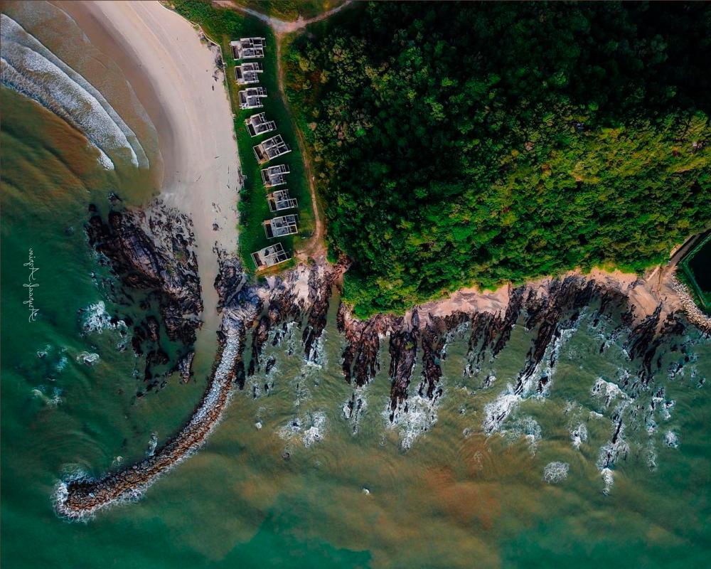
PUTRAJAYA: Remote sensing technology with the ability to collect information on the earth’s surface from an altitude of about 500 to 600 kilometres in space digitally, repeatedly and covers a wide area, offers potential for economic innovation and prosperity, according to the Malaysian Space Agency (MYSA).
It said in terms of economic innovation, remote sensing technology has been used in providing accurate fishing location information to around 30,161 fishermen nationwide.
“The application of this technology with the Fisheries Development Authority of Malaysia (LKIM), the National Fishermen’s Association (Nekmat) and the Fisheries Department, has been able to increase the total catches of deep-sea fishermen by up to 50 per cent and reduce fish imports by up to 40 per cent.
MYSA said this in a statement issued today, in conjunction with the working visit of Deputy Minister of Science, Technology and Innovation Datuk Ahmad Amzad Hashim to MYSA as well as discussions with its director-general Azlikamil Napiah yesterday.
It also said that the adoption of the space remote sensing technology in the management of paddy crops in 12 paddy planting areas nationwide, together with the Department of Agriculture, has been able to increase the monitoring crop area operation coverage up to 100 per cent and save up to 30 per cent on fertiliser and pesticide subsidies.
MYSA said this initiative involved around 37,916 paddy farmers and also covered the paddy cultivation area of the North Terengganu Integrated Agricultural Development Area (IADA Ketara) Besut in Terengganu.
Space remote sensing technology is also highly applicable in the management, development and monitoring of land systematically, especially in strategic areas, it added.
“Apart from improving the efficiency of application planning, clearing and land development, this technology is also capable of detecting and monitoring any land clearing activities, coastal erosion and any encroachment.
“This technology can also assist in disaster management such as flood control management and planning, landslide mitigation, environmental pollution monitoring, open fire detection and disease control management,” it said, adding that information system based on this technology was being expanded in the Kuala Nerus and Dungun districts in Terengganu.
The Ministry of Science, Technology and Innovation (Mosti), through MYSA, has been utilising the advantages of space remote sensing technology since 2008 in improving the efficiency of government agency service delivery in planning, management and monitoring in various sectors such as agriculture, fisheries, forestry, natural resources and environment, public order as well as security.
-Bernama


